Under
the research collaboration agreement between JICA and ICARDA conducting a data
collection survey of efficient agriculture water management, both parties
agreed to organize the session for a recommendation of capacity development titled
“Agricultural site selection and similarity analysis: identifying suitable
areas for selected agricultural interventions through Geographic Information
System (GIS)” to identify the capacity of human resources in the agricultural
sector in Syria and suggest possible solutions and support decision making
processes for future interventions and dissemination of knowledge.
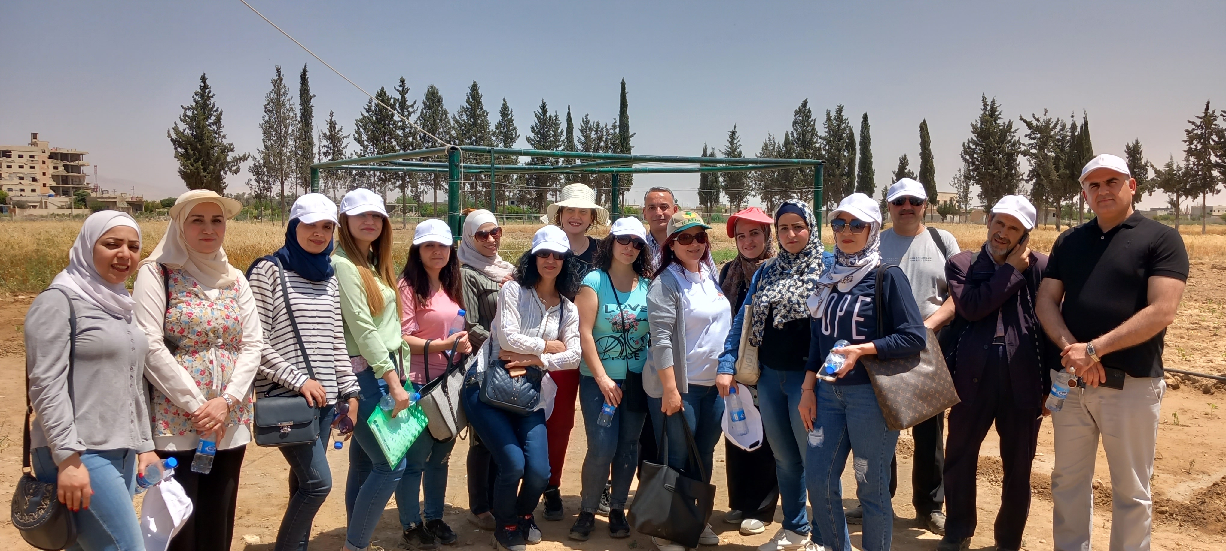
The session was implemented in 14-18 May 2023, for fourteen agricultural engineers from three different governorates - 11 from Damascus, 1 from Homs, and 2 from Latakia, and eleven of the participants were female.
The session began with an introduction to GIS (Geographic Information System) and spatial analysis. Participants learned about the available datasets and how to define criteria for target interventions. They also explored the concept of multi-criteria evaluation, which involved using the defined criteria and available datasets to assess different options. Field visits were conducted to selected agriculture interventions, allowing participants to gather data firsthand. This data was later validated against available datasets. The session also included a final similarity analysis.
The session mainly focused on the hands-on application of GIS using a manual and datasets which was developed for the session. Various GIS and suitability analysis topics were presented, and a field visit to the Nashabie Station was included.